
A report by The Guardian illustrates how indigenous communities in Peru’s Amazon are learning to use and read maps to track deforestation and use of land for agriculture.
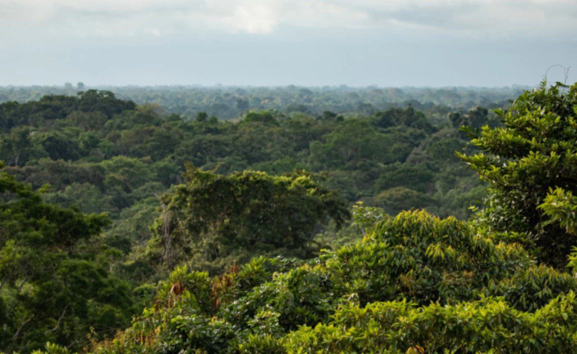
For many indigenous communities living in the Amazon, what they know about the rainforest is what they can see in front of them. To visualize the magnitude of the destruction to their land with maps is something fairly, if not completely, new for many of them. A new report by Clare Longrigg for The Guardian looks at the challenges and opportunities that the Asháninka indigenous people face in order to save the forest they inhabit.
It is not unknown that the Asháninka, like many other indigenous communities in the Amazon, are bombarded with threats and briberies to give up or sell the trees within their protected land in the Cutivireni area. Illegal loggers not only offer money in exchange but also promises to build schools or houses. These offers, however, come at a cost, which often includes violence and death when loggers don’t get enough or their way.
Not only are the Asháninka under devastating financial stress that they hand over trees for very little money or under false promises, but they are also clearing out trees in an unregulated manner for subsistence farming. With the support of the environmental charity Cool Earth, the Asháninka are learning how to better track, manage and protect their land. Part of the support that the charity provides is financial, which allows the community to decide how the money is used. The other condition for funding is to plan how much and how often trees are cut down.
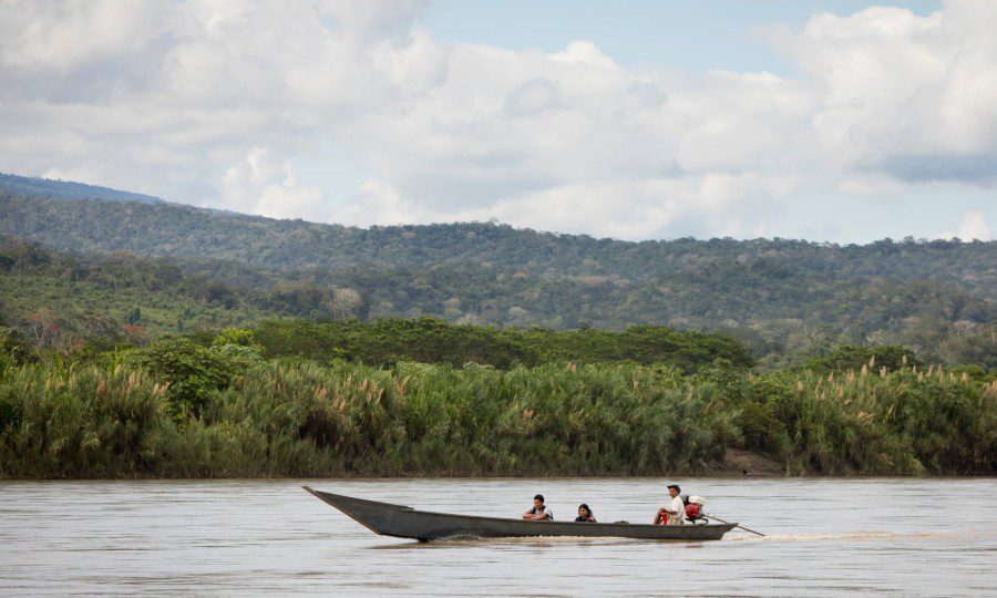
The main crops that the Asháninka farm are yucca, sweet potatoes and bananas. To do so, “a family of three will clear a hectare of forest to plant this crop. But the soil only has a useful life of two years. After that, they will move on and clear another patch,” states Aurora Lume, who is of the region and part of Cool Earth’s team on the ground.
The organization also supports the community through education on best farming practices. This includes what other crops, like coffee, they can harvest which not only can be more financially prosperous but also allow for the forest canopy to stay undisturbed.
The use of maps to understand how to better use and protect their land is also part of the education provided by Cool Earth. In one such educational meeting, recounts Longrigg, the group observed a satellite map that showed the different ways in which the land has been used and abused. The moment became an eye-opening experience for many villagers who had not realized the extent of forest lost. Environmentalists and supports believe this awakening will empower indigenous communities to strategically plan the safeguarding of the forest. In fact, it is a tested model that ambassador of Cool Earth Tony Juniper says is “the most effective strategy to conserve the rainforest, in any part of the world.”
Source: The Guardian
Cover photo: Amaraphotos.com

